satellites combo for precision
-
Hi!
I am still quite a newbbie on smartwatches (and could not find the answer in the forum).
I keep reading that here in Europe GPS+Glonass or GPS+Galileo should deliver the best result; I actually changed recently from the first to the second and I am actually happy.
However, since the Suunto does not have a baro, the quota level is quite inaccurate (every now and then I see 30m height difference on sam point and a few time I saw even 3 times more).
Thus, the question is: when trekking in the mountains, which option do you find best to get the most precise possible information on path AND quota? (of course, the path is more important)Thanks for everyone who can help!
-
@aaurakkio in the mountains I don’t see a difference, since ascents/decents are big enough and aren’t filtered by the software.
-
@дима-мельниченко , thanks for the feedback!
You are quite poisitve on this
")
So, in your opinion there is not a risk that the smartwatcwh will record 200m quota difference and at the end the measure should be precise enough with just a 100m more or less difference
(I fear when there are high rock walls on a side of the path or nearby enough)?
-
@aaurakkio ofc there are some scenarios where ascent data will be compromised - you described such scenario yourself. But in this case any combination would struggle I think. Other possibility for GPS ascent/descent to be incorrect is when you have a small hight variation like small ~20m hills.
In other cases GPS should be well enough.
While hiking in the mountains yesterday my highest point was only 4m off the stated hight. If I do a round trip with 1k vertical meters, I might get 10-30m difference of ascent and descent, which is very good to my taste.
In general I’ve heard about a thumb rule that glonass is less accurate but is better for bad GPS reception and Gallileo the opposite.
But I think if you really want to juice extra few 0.1% accuracy you might want to check satellite map before you head out and choose your GPS system accordingly. You might get a far better result however if you wait for 1-2 extra minute after you get a gps lock, otherwise you oftentimes get wrong altitude for the first minutes of your training. -
@дима-мельниченко I never realised about the waiting 1-2 extra minutes!
by asking a question, you have solved also anther one!
and thanks for the tip on checking those in advance.
Thump up now. Hopefully one more in a few days!
-
Hi i have usually problem when hiking in areas surrounded by high rocks, hills or too many trees. My suunto 5 sometimes measure distance 10-20% higher than real distance. I tried galileo and glonass and gps only. Not big difference. Distance is higher because instead of strait line i have zig zag route. I don’t have much problem with altitude ascent and descent is quite accurate i think. But if you want increase path acuracy. Than todays firmware update should bring feature snap to route. If you plan your route ahead of time. You can use planed route to increase accuracy. I did’t test yet but it should solve all accuracy problems with path. Not with altitude.
-
@tomas5 I’m not sure it’ll help tbh. Mountain path aren’t drawn as correctly as streets in the city. But if you compare the distance to that of a.planned route - then sure, you’ll get more accurate results.
-
@дима-мельниченко i compare to openstreetmaps or mapy.cz and distance usually corresponds to my father mobile phone gps or my wifes mobile phone gps track. Only my suunto watch show 10-20% more on same path. But paths i do hiking on are usually well documented so i hope it will improve performance/accuracy. If it would differ only from official map distance i wouldn’t care much. But when i see maps and multiple phones show 7,5-8km and my watch shows 10km. Than it is suspicious :D. But when i do some road cycling, than accuracy compared to map is great, but maybe thanks to suunto bike pod. With older ambit2 s i used 10s (or 12s, not sure ) interval for hiking. It was enough to smooth some zig zag and still good for tracking serpentines. Only drawback was loosing ascent/descent but when this watch don’t have baro i didn’t care much. But on suunto 5 there is only 60s interval and this is too slow to track correctly.
-
@Дима-Мельниченко thanks for the tips! After some training sessions more, I am happy to say that the precision has improved.
-
@aaurakkio i tried lately snap to route on bike. It worked fine. And i am quite happy with gps + galileo settings. It seems to be better than gps only. But it costs litle more battery.
-
@tomas5 Galileo is a monster when conditions are right.
-
@łukasz-szmigiel I am also using Galileo recently, works very well. Maybe they fixed something in the system (usually the problem with Galileo is not the satellites but the infrastructure).
Watch: Suunto Vertical 2 Titanium Black
Blog: isazi's home
-
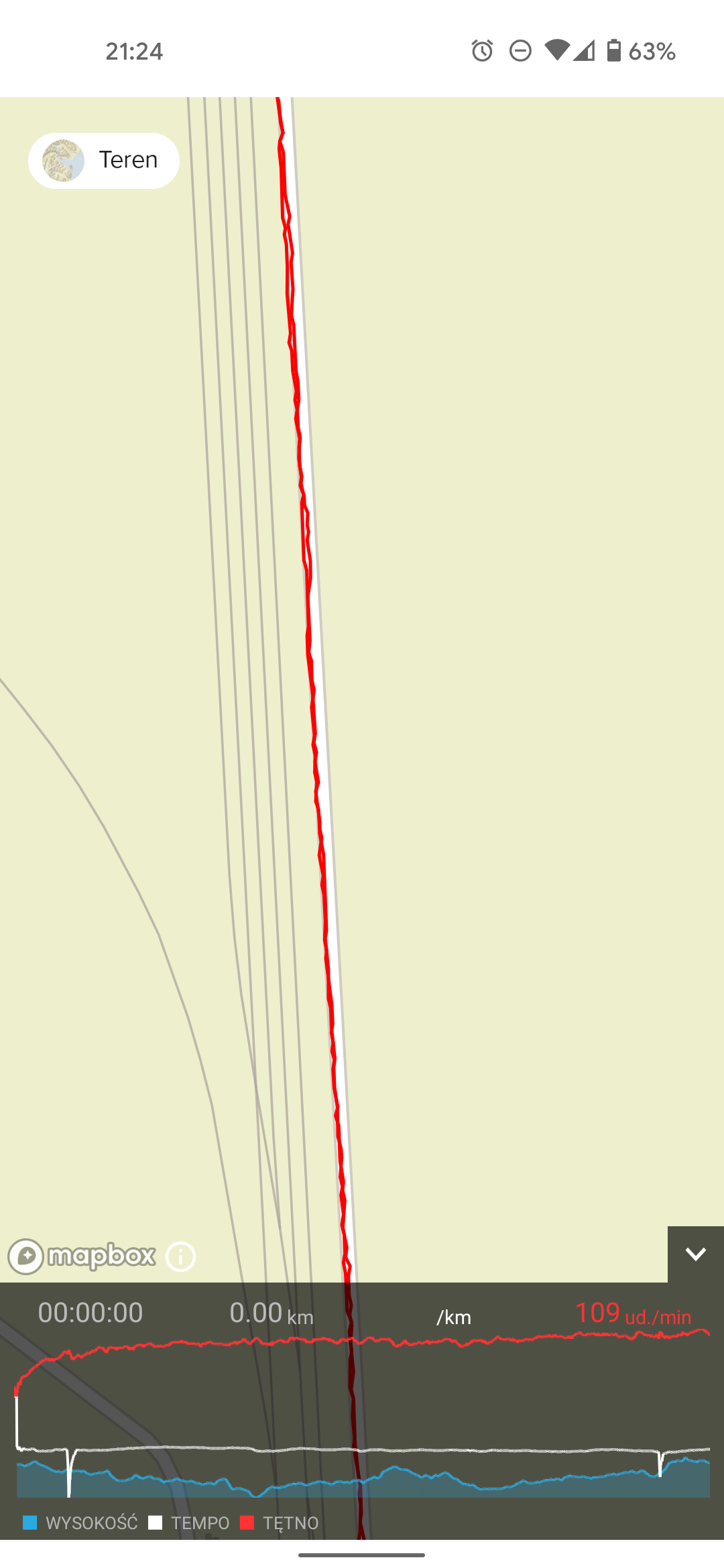
@isazi I don’t know but on days like today it’s as good as sanely possible I guess:
It’s funny because the more accurate GNSS systems get, the more sophisticated filtering systems will have to be to smooth out arms movement and other receiver related noise.