Goodbye Suunto, hello Garmin
-
@dmytro
You are definitely kidding. Creating a route on 17inch laptop vs 6inch phone is not comparable at all. And please do not suggest me again to use other services -
@sebchastang not a joke:)
Well, I plan mostly day hikes and I live in Europe. That means I mostly need to know how hard the terrain is - something that is visible from the legend, no matter the size of a screen. Additionally I need to know whether there are scrambling or via ferrata sections present, how long and how hard they are. This is something one can hardly tell from the map anyways, so I tend to search for the video materials and written reviews on the internet. These also help to appreciate the time window that I am allowed to have. Next, I plan my water and food supply, which partially depends on the presence of mountain huts or maybe even natural water sources along the way - komoot does a good job of highlighting them on the map, which is, once again, easy to do on my phone. Finally, I plan transportation: since I only use public transport, I can fire up DB app and check out whether there exists a junction of bus/train that can get me to my destination. Additionally, I also look for the closest stops to my route as sometimes there are local buses that need to be searched for separately.I don’t care about shelters, since my hikes are being done in a good weather exclusively. As for different maps, I do indeed jump back and forth between SA maps and komoot, the former being mostly for heat maps and 3D elevation profile. But komoot would get the job done just fine on its own.
Also I check webcams in the area, switch between a few weather websites and look at the avalanche map in winter.
Maybe my planing is not advanced as yours, but I wouldn’t call my analysis of a route light either. And I never once regretted doing this on my phone. -
@zvonejan how long of a route are you planning? I’ve created the ones up to 100 km ( which I’m yet to do XD), and have found phone screen more than enough for the procedure.
The trick I use is to pick A and B, apply automatic routing, and then check every turn and corner closely for an alternative - either for a more interesting path or to come by a mountain hut, etc.
But most of the times I know exactly which path I want to take, so it’s even less of a problem to me. -
@dmytro @zvonejan @sebchastang I have to agree with @DMytro here, I plan up to 100 miles on my phone, the ability to zoom makes it work quite well. I typically use SA and CalTopo, which I can freely switch between phone and iPad because I need slope shading. I find using a touch screen much better than my laptop.
-
I fully agree with @DMytro and @Brad_Olwin , too.
…if you would have asked me 2 years ago my answer would have been: you can’t plan on a 6" screen. BUT, you can and it is very useful and intuitive. And it became absolutely great when editing points between start and finish became possible!
maybe some people have to get used to it (like myself… ;-)), but I guess the majority appreciates the route planning in SA -
To be honest, I do not understand. You are almost trying to convince me that creating a route is better on a phone than on PC. And I have never said that creating a route is inpossible on phone, but comparing to pc… I have tried several times on phone but small screen and the inability to subsequently correct some section did not convince me, especially for routes above 80-120 km…not even for 10 km hike route…
-
@zvonejan Out of all the apps I have tried, I do find the sunnto app to be among the easiest to use, but I personally find creating a route on the PC so much easier, being in the UK we are really blessed with some great 1:25,000 Ordnance Survey Maps which on the PC is great for plotting a route, where I can toggle different layers topo / satellite etc, I do have the hassle of getting it onto my watch after that but for me over all I much prefer it to mobile app.
-
@zvonejan I think ease of use is subjective - for me personally, it’s certainly easier with a phone.
What do you mean you can’t change the subsections is impossible? It think it pretty much is, with the new SA version at least. And a lot of other apps do allow it as well.
-
@freeheeler said in Goodbye Suunto, hello Garmin:
I fully agree with @DMytro and @Brad_Olwin , too.
…if you would have asked me 2 years ago my answer would have been: you can’t plan on a 6" screen. BUT, you can and it is very useful and intuitive. And it became absolutely great when editing points between start and finish became possible!
maybe some people have to get used to it (like myself… ;-)), but I guess the majority appreciates the route planning in SAYou guys did a good job…next planning I would do, I will try on the tablet with SA…
Normally use komoot, google maps and sometimes basecamp to plan routes/trips on a 27 screen. -
I plan routes on my phone and on my laptop, can’t say I have any issues with either. Both are pretty easy
-
@dmytro - and that is what I love about the ClimbPro feature on the Garmin - absolutely awesome for seeing those climbs and your progress along them.
-
@jamie-bg I think I wouldn’t be against this feature either:)
However, I’m much more interested in my performance not dependent on slope but rather on the terrain difficulty: i.e. via ferrata, scrambling, hiking trail -
@jamie-bg said in Goodbye Suunto, hello Garmin:
@dmytro - and that is what I love about the ClimbPro feature on the Garmin - absolutely awesome for seeing those climbs and your progress along them.
Agree with you on this, we need something similar but better for Suunto.
-
@dmytro - would be nice if it was included.
For MTB there is grit and flow which pretty much does that - gives a pretty good indication of the type of terrain. My BiL regulary does MTB and you can actively see when he hits really rough spots in the course. Of course that is unfortunately all during (seems a bit pointless) and post activity. -
@brad_olwin Lol Suunto needs to do ALOT of things to keep up with Garmin. I’m not knocking Suunto, Just being honest with ya.

-
@tyresej4 said in Goodbye Suunto, hello Garmin:
@brad_olwin Lol Suunto needs to do ALOT of things to keep up with Garmin. I’m not knocking Suunto, Just being honest with ya.

I disagree as the companies clearly take different approaches. Suunto is much more minimalist, so compare the Enduro to the 9Peak. The major differences would be 1 sec battery life, complex interval workouts and ClimbPro. The major features are quite similar. I prefer a smaller watch with FusedTrack instead of a very large watch, I don’t mind the tracks or distances with FusedTrack. I find the Suunto interface much less confusing and cleaner, so it is a personal preference. I think Suunto’s approach to navigation is far, far, far superior to Garmin’s. I have an inReach mini and the difficulties in using and configuring routes is a Byzantine nightmare. Navigation matters to me and watch size matters so I don’t think Suunto has much catching up to do. I would argue something similar or better than ClimbPro, complex interval for those that want it, I don’t think there is much else.
-
@brad_olwin I use a Garmin GPSMAP (if were talking about handhelds) to Map out areas of ecological interest and create and follow existing routes to narrow down the search parameters when out in the field, and find the process of creating, using and configuring a route very easy and a pleasure to do, in fact I also have ordnance survey maps 1:25000 loaded onto the unit as well making the whole gps experience a pleasure to use. The one limitation I found in the past for me was a track limited to 10,000 points recorded in any one instance, but the latest version has extended to 20,000 points.
The InReach mini I would have thought was primarily a gps communicator with other functions built in as a by product, I find it difficult to hold it as a comparator to a brands experience of using and configuring routes.
I guess its all subjective within each individuals experiences. -
@jamie-bg said in Goodbye Suunto, hello Garmin:
@dmytro - would be nice if it was included.
For MTB there is grit and flow which pretty much does that - gives a pretty good indication of the type of terrain. My BiL regulary does MTB and you can actively see when he hits really rough spots in the course. Of course that is unfortunately all during (seems a bit pointless) and post activity.What is the utility of grit and flow? For me none, and I’m using a Garmin 530 as MTB computer. How a bike computer can know something about the terrain? The same computer that can count jumps and only counts the 20% of them and being very generous. ClimbPro, until the update 8.XX was not working well in 80% of the cases, a little bit better if you are doing road cycling but always loading the track in Connect, if not doesn’t work at all. As I have said several times, parameters that are not useful or reliable are pointless or another parameter the you delete from your screen, but well we can say that it has a lot of things.
BTW, in Garmin you can configure everything which is good but also a pain in the ass.
-
@brad_olwin
…and Suunto does not try to convince us to start golfing… just that this is being said as another big plus on Suunto
I’ve had a Garmin and told Garmin customer service the vice versa of this threads title

There is so much I appreciate in Suunto over Garmin -
@freeheeler said in Goodbye Suunto, hello Garmin:
…and Suunto does not try to convince us to start golfing…
Good… I have enough frustrations in my life already

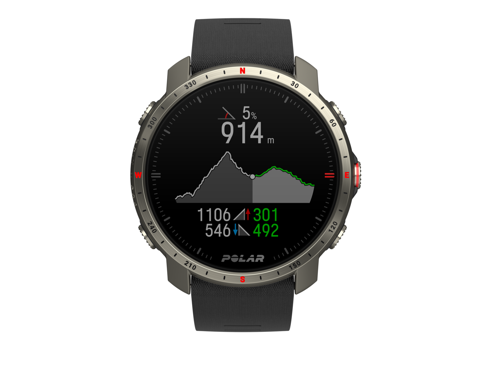
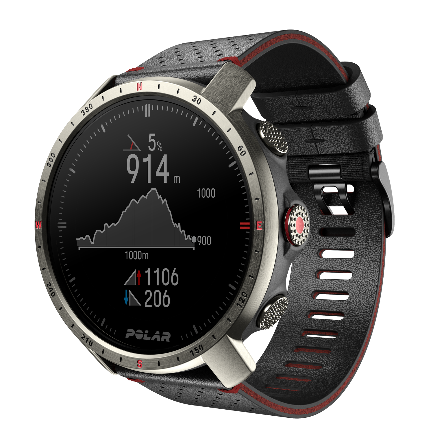
I’m with Brad, would love to see a dedicated climbing/elevation screen. I used the Polar Grit X Pro for a month or so and that had one and it was excellent; it told you exactly where you were on your run, you could see the upcoming climbs and all of the climb info was there on the screen as you were ascending


If we could get something like this or better for Suunto that would be a massive plus in my eyes, and I think it would really put us head and shoulders above the rest
