Creating Route's
-
Hi Team,
Every day the app goes better, I really want to say “We have the best App” !!!

I explain my situation :
I created the same route with (Sport Tracker , Suunto App 0.4.0 59998 ,Movescount and Strava) and detect the following :
-
Strava and movescount are very similar in kilometers and altidud.

-
When I created the route with Sport Tracker the info of elevation are 0 and increase the number of kilometers. ( And you can view the same info in the Suunto App )
-
When create the route with Suunto app theinfo of elevation and kilometers increase a lot .
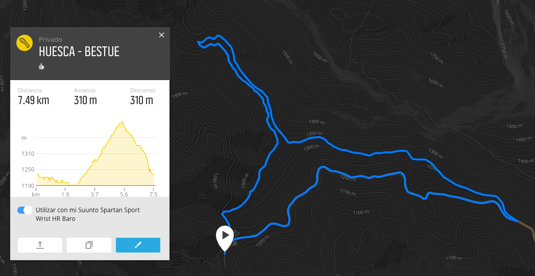
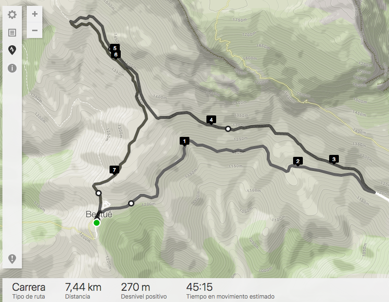
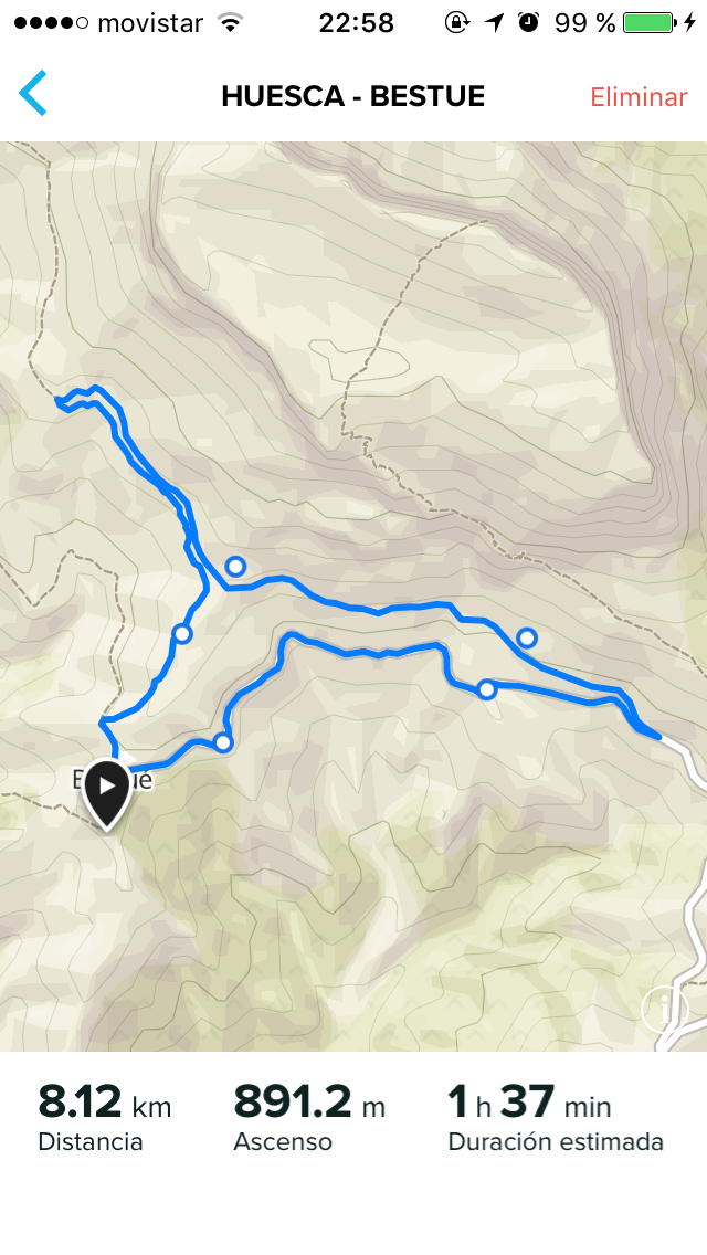
I attach examples.
Movescount image
Strava image
Sport Tracker
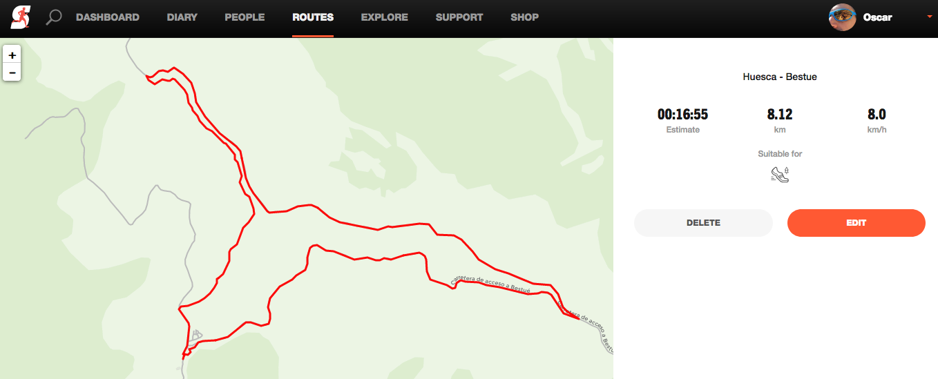
Suunto App
Is problem with integration with Sport Tracker ?
-
-
this is a good question. I suppose all of them use a different database for elevation.
Community Manager / Admin @Suunto
Creator of Quantified-Self.io
youtube.com/c/dimitrioskanellopoulos
https://instagram.com/dimitrioskanellopoulos
https://www.strava.com/athletes/7586105 -
@dimitrios-kanellopoulos hmm how it can be as all of them should count on topographic maps for elevation which are mostly published by government.
-
@slashas said in Creating Route's:
@dimitrios-kanellopoulos hmm how it can be as all of them should count on topographic maps for elevation which are mostly published by government.
em sorry that is not correct. Each service, each maps service have their own db