• Recent
  • Tags
  • Popular
  • Users
  • Groups
  • Register
  • Login
Suunto app Forum Suunto Community Forum
  • Recent
  • Tags
  • Popular
  • Users
  • Groups
  • Register
  • Login

SSSWHRB - Altimetric profile (graph) - remaining ascent

Scheduled Pinned Locked Moved Spartan
3 Posts 2 Posters 235 Views 2 Watching
Loading More Posts
  • Oldest to Newest
  • Newest to Oldest
  • Most Votes
Reply
  • Reply as topic
Log in to reply
This topic has been deleted. Only users with topic management privileges can see it.
  • S Offline
    sartoric Moderator
    last edited by sartoric 12 Jan 2019, 18:33 1 Dec 2019, 18:22

    @Dimitrios-Kanellopoulos
    Yesterday during a trekking I’ve noticed that the lower part of the alti graph, that should show the remaining ascent (I suppose for the whole route) was changing values like it was measuring it between “waypoints” instead of decreasing from total ascent to 0 as I would expect.

    eg. I’ve seen
    300m than 95m then 140m
    Is this something expected ?
    I don’t think I tap on the screen (switching between ascent and descent) afair the arrow was always facing up

    The route was exported/open from GAIA and it has some waypoint/click point (to draw the route)

    The graph is correct, showing the whole route. Maybe this is related to the old alti graph issue that was drawn for just a section of the route?
    https://forum.suunto.com/topic/1657/planned-route-strange-altimetric-profile-and-waypoint

    SVTS - 2.40.38
    SSSWHR BARO Amber - 2.8.32
    Samsung A5 2016 - Android 7.0
    Samsung A33 2022 - Android 14 - One UI 6.1
    Suunto App Android 5.3.5 beta
    Suunto App IOs 2.46.0 (19453) beta on MBP M1

    1 Reply Last reply Reply Quote 0
    • ? Offline
      A Former User
      last edited by A Former User 12 Feb 2019, 00:49 2 Dec 2019, 00:49

      Did you have any out and back segments on the route? I wonder if the route got reversed at one point and you were shown the remaining elevation gain back to the start?

      S 1 Reply Last reply 2 Dec 2019, 01:43 Reply Quote 0
      • S Offline
        sartoric Moderator @Guest
        last edited by sartoric 12 Feb 2019, 01:44 2 Dec 2019, 01:43

        @silentvoyager
        No, in fact it’s a loop.

        route.png

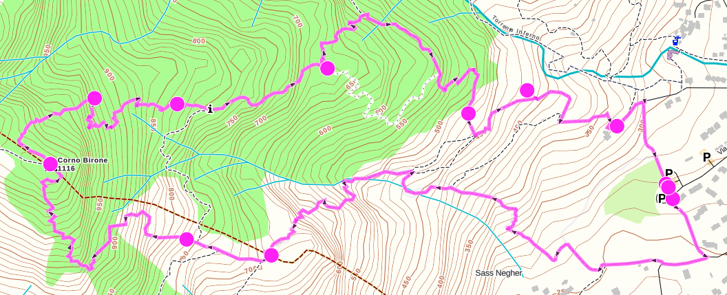
        I remember wondering why the ascent left went from around (an unexpected) 60m to 400m, while in the SW section (3 dots and the peak)

        SVTS - 2.40.38
        SSSWHR BARO Amber - 2.8.32
        Samsung A5 2016 - Android 7.0
        Samsung A33 2022 - Android 14 - One UI 6.1
        Suunto App Android 5.3.5 beta
        Suunto App IOs 2.46.0 (19453) beta on MBP M1

        1 Reply Last reply Reply Quote 0
        1 out of 3
        • First post
          1/3
          Last post

        Suunto Terms | Privacy Policy

          This community forum collects and processes your personal information.
          consent.not_received