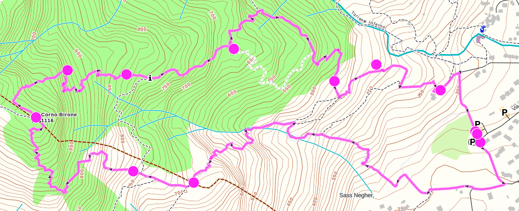
-
@Dimitrios-Kanellopoulos
Yesterday during a trekking I’ve noticed that the lower part of the alti graph, that should show the remaining ascent (I suppose for the whole route) was changing values like it was measuring it between “waypoints” instead of decreasing from total ascent to 0 as I would expect.eg. I’ve seen
300m than 95m then 140m
Is this something expected ?
I don’t think I tap on the screen (switching between ascent and descent) afair the arrow was always facing upThe route was exported/open from GAIA and it has some waypoint/click point (to draw the route)
The graph is correct, showing the whole route. Maybe this is related to the old alti graph issue that was drawn for just a section of the route?
https://forum.suunto.com/topic/1657/planned-route-strange-altimetric-profile-and-waypoint -
Did you have any out and back segments on the route? I wonder if the route got reversed at one point and you were shown the remaining elevation gain back to the start?
-
@silentvoyager
No, in fact it’s a loop.
I remember wondering why the ascent left went from around (an unexpected) 60m to 400m, while in the SW section (3 dots and the peak)