SOFTWARE UPDATE 2.19.42 January 27, 2022
-
@dmytro
did you plan the route in SA and “map data” is from SA?
…I didn’t know you had access to an S9B, how come? or do you need to apply rule 1 and 2 now?
-
@freeheeler I used komoot. And I would give a bit more detailed map ascent info, if we wouldn’t change our descend path a little bit.
If only haha, my gf bought an s9b almost a year ago.
-
@dimitrios-kanellopoulos Thanks. Last question. FusedAlti is used in absolute altitude? Not in ascent / descent, or? That would be me understanding. And that’s why altitudes are staying almost nearly perfect, but weather changes are impacting ascent / descent? Ascent / descent is just the barometer change and can be affected on stormy days. Am I right? Or are there even in ascent / descent FusedAlti checks and corrections?
-
@mountainchris
FusedAlti changes absolut pressure and the change does not count to ascent / descend. it sets like a new “zero”.
when weather changes, e.g. pressure drops it would give (as you know) a higher altitude. with gps it compares if a drop is reasonable or not every now and then and if the algo decides the drop is because of weather and not due to ascending, it readjusts the altitude with the help of gps altitude.I hope this answers your question

-
@freeheeler Thanks, yes. I thought this is the way it is done, but I was curious. That’s why you see the weather pressure changes fully in ascent / descent. Absolut it is corrected. Theoretically watch knows which corrections were made and could correct ascent / descent (afterwards). But complex, failures could be made and we see only changes normally 0-2 hPa on a day. So effect in hm would be not much in mountains with significant ascents.
Running relatively flat on very stormy days can have a significant impact, but there are only some countable days. On a S5P you wouldn’t see this weather / storm in ascent.
-
@mountainchris
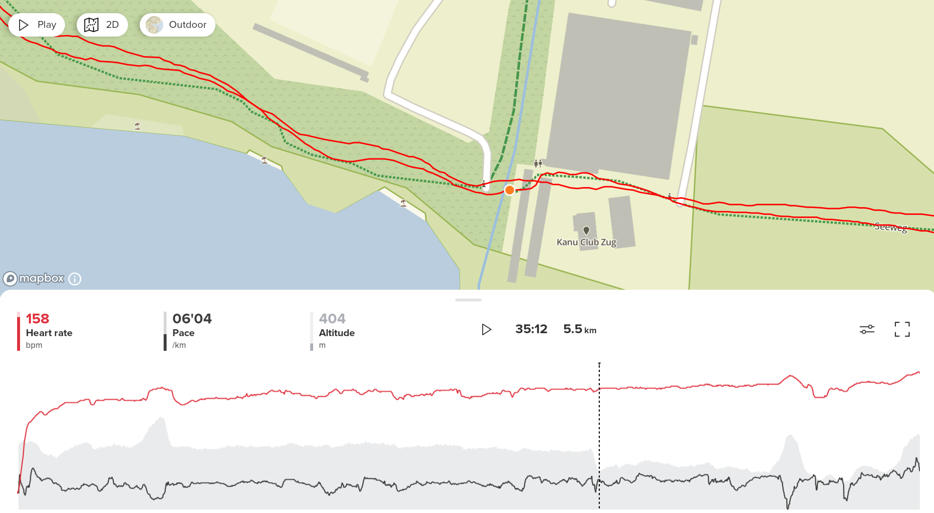
here’s one issue I can not explain…
I’ve started at my doorstep with clearly wrong altitude and observed how fusedalti had corrected altitude after the first “hill”.
the route should be 99.something% symmetrical but a alti drop happened 1/3rd way back and it remained wrongish. the graph itself does not look like the sensor was blocked. no up or down spikes.
but the last bit on the way home has a different shape than the start that was corrected by fusedalti.
it would be interesting how often fusedalti kicks in and if it also considers gps signal strength for accuracy? I think it does, because if gps height is several meters off, it would unnecessarily “correct” an almost correct value.

-
I isazi unpinned this topic on