Suunto Ocean - Add water-depth information to the OSM map
-
I would love to see water-depth data added to the OSM map. This would be especially useful for boat fishing and spearfishing, as users could mark specific locations and see how deep the water is in that area.
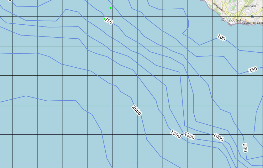
Having depth information would make it much easier to plan trips, find suitable fishing spots, and navigate safely also.
Info:
-
I isazi moved this topic from Feature Suggestions
Hello! It looks like you're interested in this conversation, but you don't have an account yet.
Getting fed up of having to scroll through the same posts each visit? When you register for an account, you'll always come back to exactly where you were before, and choose to be notified of new replies (either via email, or push notification). You'll also be able to save bookmarks and upvote posts to show your appreciation to other community members.
With your input, this post could be even better 💗
Register Login